Elliott Bay Seattle Seawall Project Diary
SPRING 2014
Easy access to historical records keeps construction moving.
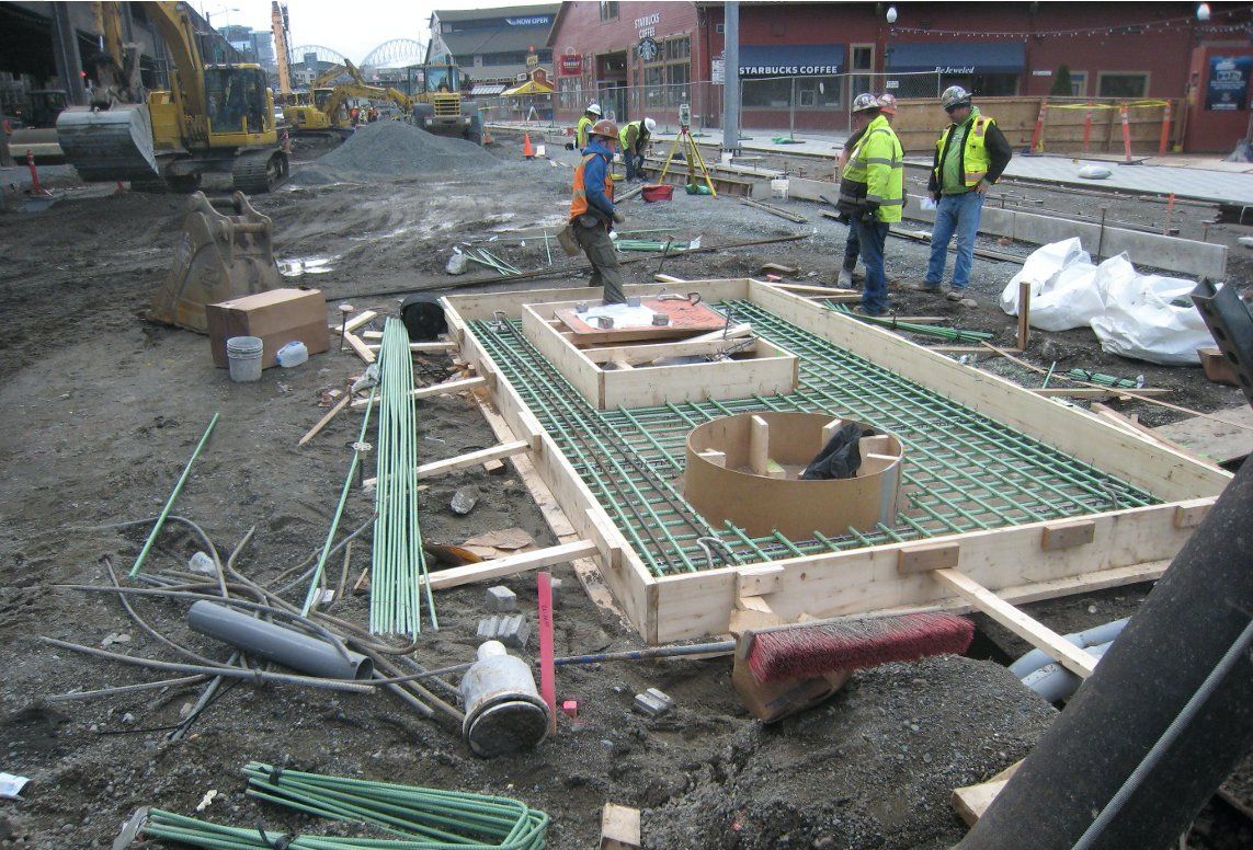
It’s pretty common for a question pointing to subsurface utility coordination to start with something like “Hey, do you have any information on…(insert utility situation/issue of the moment)?”
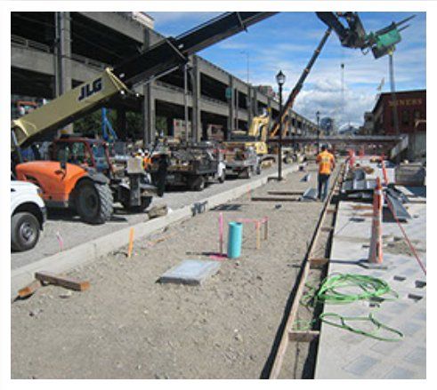
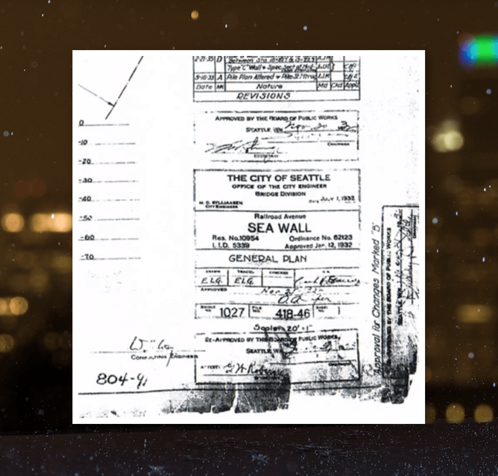
Earlier this month on Waterfront Seattle’s Elliott Bay Seawall reconstruction (EBSP), an inspector’s question started like that when he described sheet piles bouncing off what looked like a layer of concrete. When he told me where this was happening, I quickly pulled out the old construction records for a compaction grout repair that appeared to align perfectly with the field issue. The as-builts suggested that they were almost certainly hitting the grout layer, but that it should be fairly thin and they could spud through it to continue driving sheet piles. This wasn’t the first time an issue like this had popped up and each time we have quickly resolved the situation.
Quick access to historical records can make a huge difference in keeping a tight construction schedule moving forward. To accomplish this for EBSP, we assembled a project library of over 40,000 photos, drawings and reports. It can be referenced via a general Table of Contents but also by descriptors like date, type of feature, a subjective assessment of the usefulness of the content, and by street and block name for quick geographic orientation. It can all be accessed via secure internet/cloud connection. It’s pretty common to have a document up on the screen in less than a minute after an inquiry turns up, including figuring out which one to open.
A critical key to this solution was thinking ahead and starting early. The organizational effort started long before construction, near the beginning of the design process. A first step was to simply think through how each item might be useful to a structural designer, a transportation engineer, a drainage engineer, a contractor, and the other types of uses that might arise.
COMMENT